NEW FILES ADDED SEPTEMBER 29, 2026
Neighborhood photo exhibits
Saved photo exhibits from our neighborhood research are now available alongside the document library.
These 21 files include preserved browser screenshots and one photo preview. Source interfaces are retained. Some views overlap; this is not a count of distinct flood events. Dates, locations and attribution limitations are stated for each exhibit. Photos show visible conditions; they do not measure water depth or establish a development-related cause.
See the newly added documents · Community gallery · Submit an original photo
Roadway water: July 2021
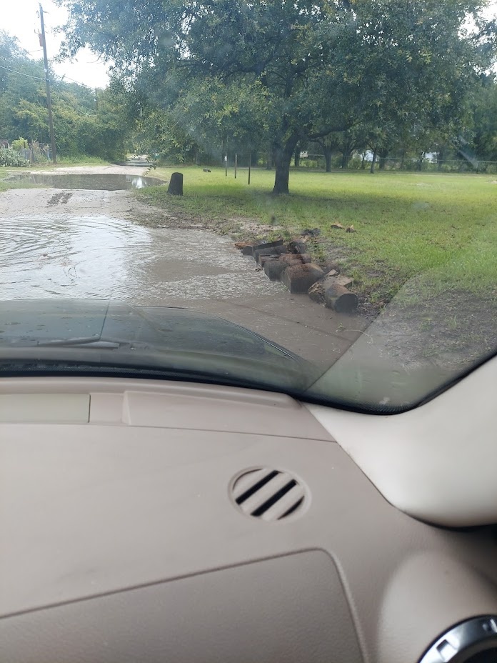
Google Photos displays July 7, 2021, 10:29:46 a.m., filename 20210707_102946.jpg. Water is visible on the roadway. Shared by another user and saved to Joseph Maynard’s collection; photographer and exact road remain unconfirmed. This is a browser-served preview, not the full-resolution original.
KG01 Kent Grove Drive water on the road
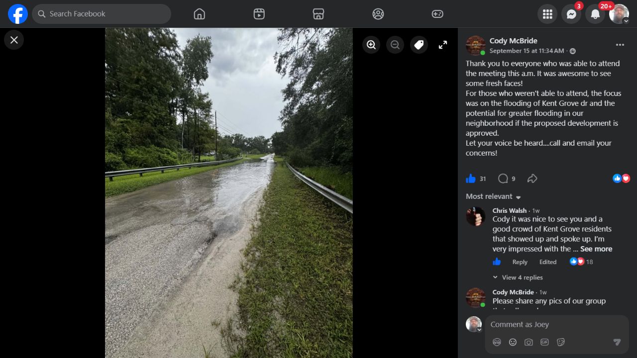
Cody McBride’s September 15, 2026 post discusses Kent Grove Drive flooding. The photograph shows water extending across part of the roadway between guardrails. The post date is not a verified image capture date; exact camera location and photographer should be confirmed with Cody.
Open saved image · Facebook source (sign-in may be required)
KG02 Kent Grove creek crossing
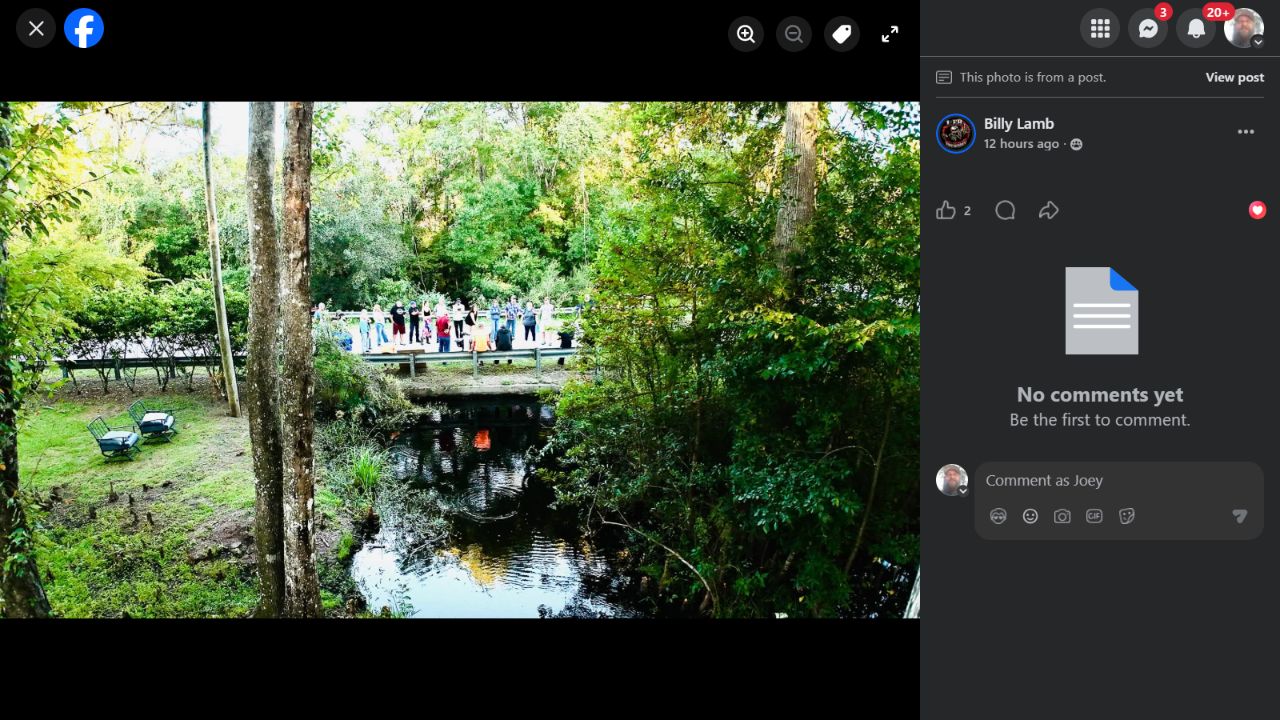
Billy Lamb’s September 28, 2026 post identifies these as photos from the prior day’s meeting. This view shows the creek channel, crossing, guardrail and residents. Water is below road level; this is location context, not roadway inundation.
Open saved image · Facebook source (sign-in may be required)
KG03 Kent Grove crossing and road
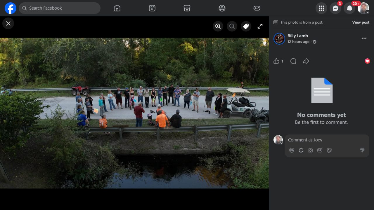
Additional view from Billy Lamb’s meeting-photo set, posted September 28, 2026. The channel, crossing and adjoining road are visible. Meeting date is attributed to the post; original capture metadata has not been obtained.
Open saved image · Facebook source (sign-in may be required)
KG04 Kent Grove road and wooded surroundings
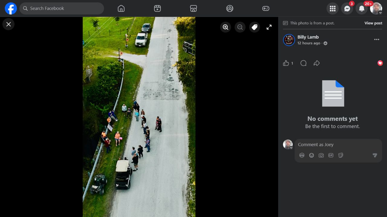
Billy Lamb’s meeting-photo set provides an elevated view of the road, roadside setting and gathering. This documents physical context and does not measure pavement capacity, drainage capacity or flood depth.
Open saved image · Facebook source (sign-in may be required)
F01 Lussier area flooding October 2024
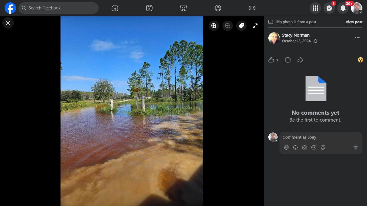
Stacy Norman posted this image on October 12, 2024. The parent post identifies “Vernon dairy and Lussier.” Water covers the foreground access/road area. The precise mapped point and original capture time remain to be confirmed.
Open saved image · Facebook source (sign-in may be required)
F02 Flooding beside a residence October 2024
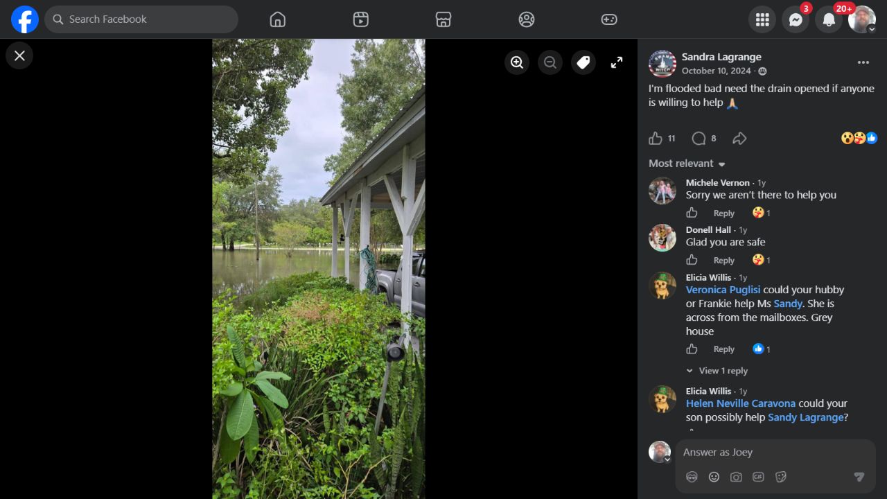
Sandra Lagrange’s October 10, 2024 post requests help opening a drain. The photograph shows standing water beside a home/carport and vehicle. Neighbor comments describe the property as across from the mailboxes; exact address and capture time are not established here.
Open saved image · Facebook source (sign-in may be required)
F03 Additional roadway flooding July 2021
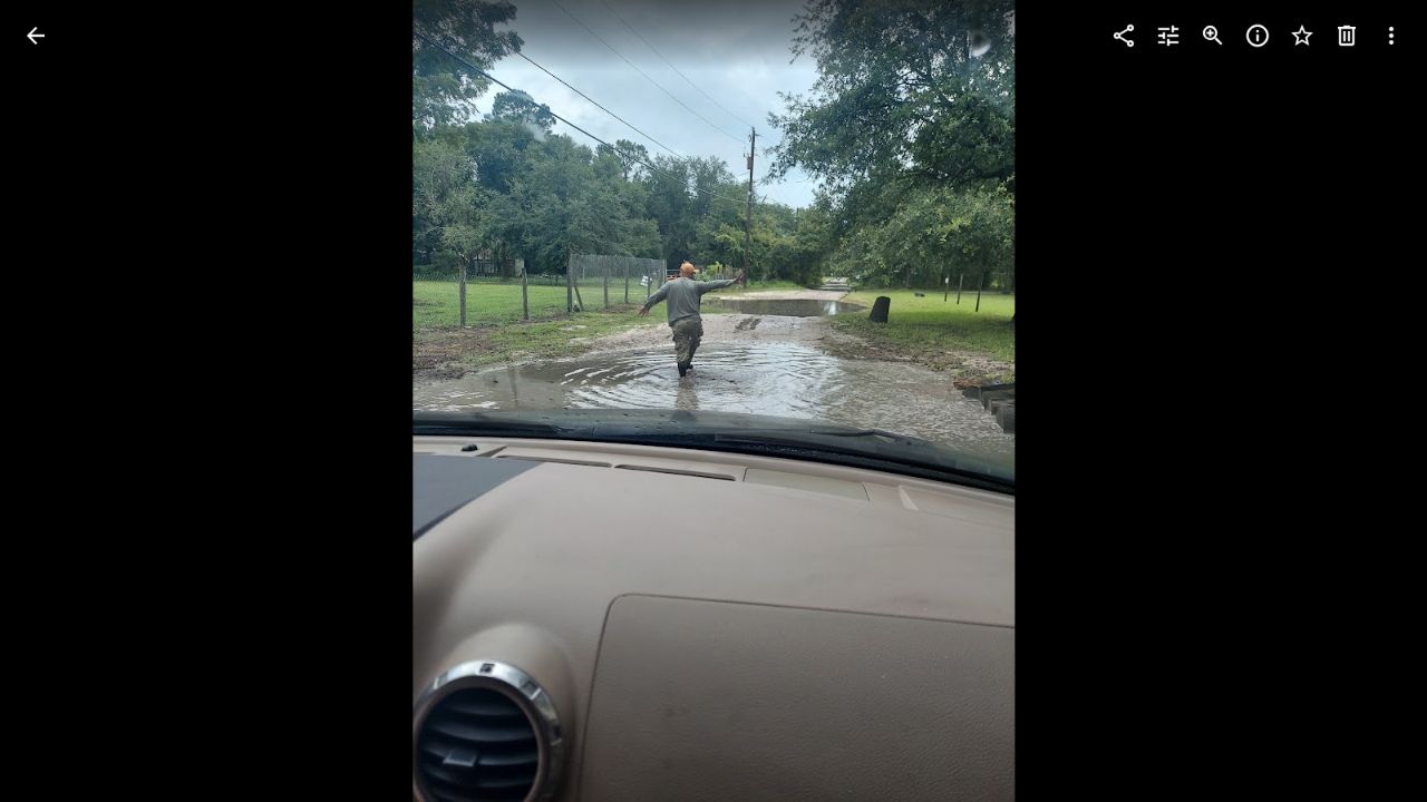
From Joseph Maynard’s Google Photos collection: 20210707_102936.jpg, displayed July 7, 2021 at 10:29:37 a.m. EDT, Samsung SM-A716U, 3468 × 4624. A person and standing water are visible ahead of the vehicle. Google Photos marks it shared by another Google user and saved to the account; photographer and exact road remain to be confirmed.
F04 Residential ponding October 2024
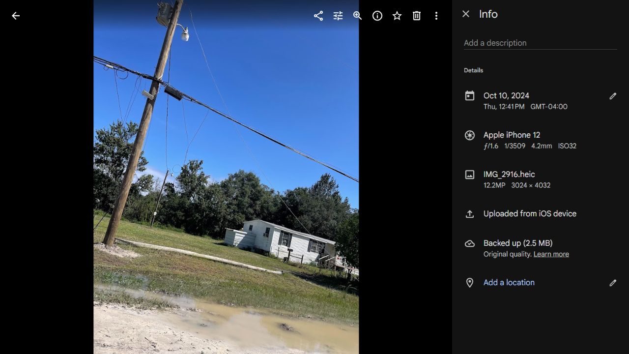
From Joseph Maynard’s Google Photos collection: IMG_2916.heic, October 10, 2024 at 12:41:42 p.m. EDT, iPhone 12, 3024 × 4032. Muddy water is visible near a residence and utility pole. Photos has no location for this item; do not assign it to Kent Grove Drive without confirmation.
Kent Grove meeting-photo set: 02
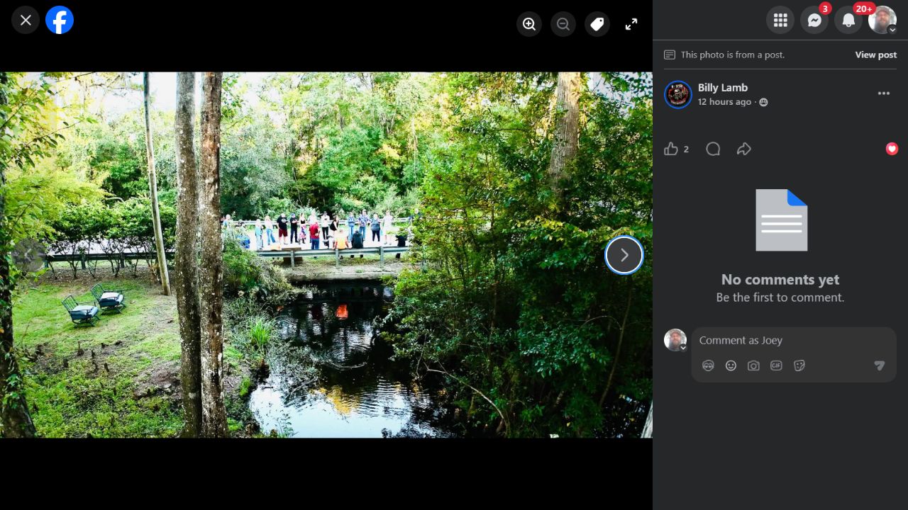
Preserved browser view from Billy Lamb’s September 28 meeting-photo set. The post describes the prior day’s gathering. Views provide road, creek and community context, not measured flood depth or culvert capacity. Capture metadata and individual photo-ID matching are not independently verified.
Open saved image · Facebook source (sign-in may be required)
Kent Grove meeting-photo set: 03
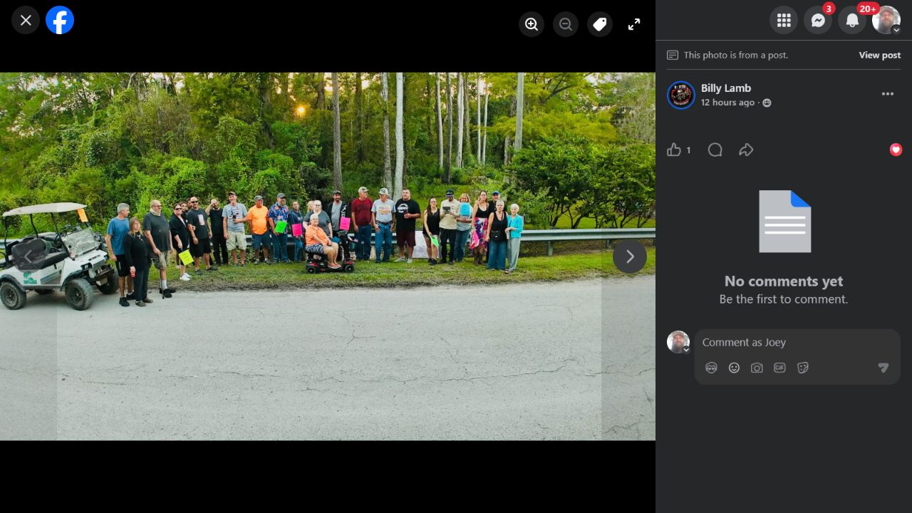
Preserved browser view from Billy Lamb’s September 28 meeting-photo set. The post describes the prior day’s gathering. Views provide road, creek and community context, not measured flood depth or culvert capacity. Capture metadata and individual photo-ID matching are not independently verified.
Open saved image · Facebook source (sign-in may be required)
Kent Grove meeting-photo set: 04
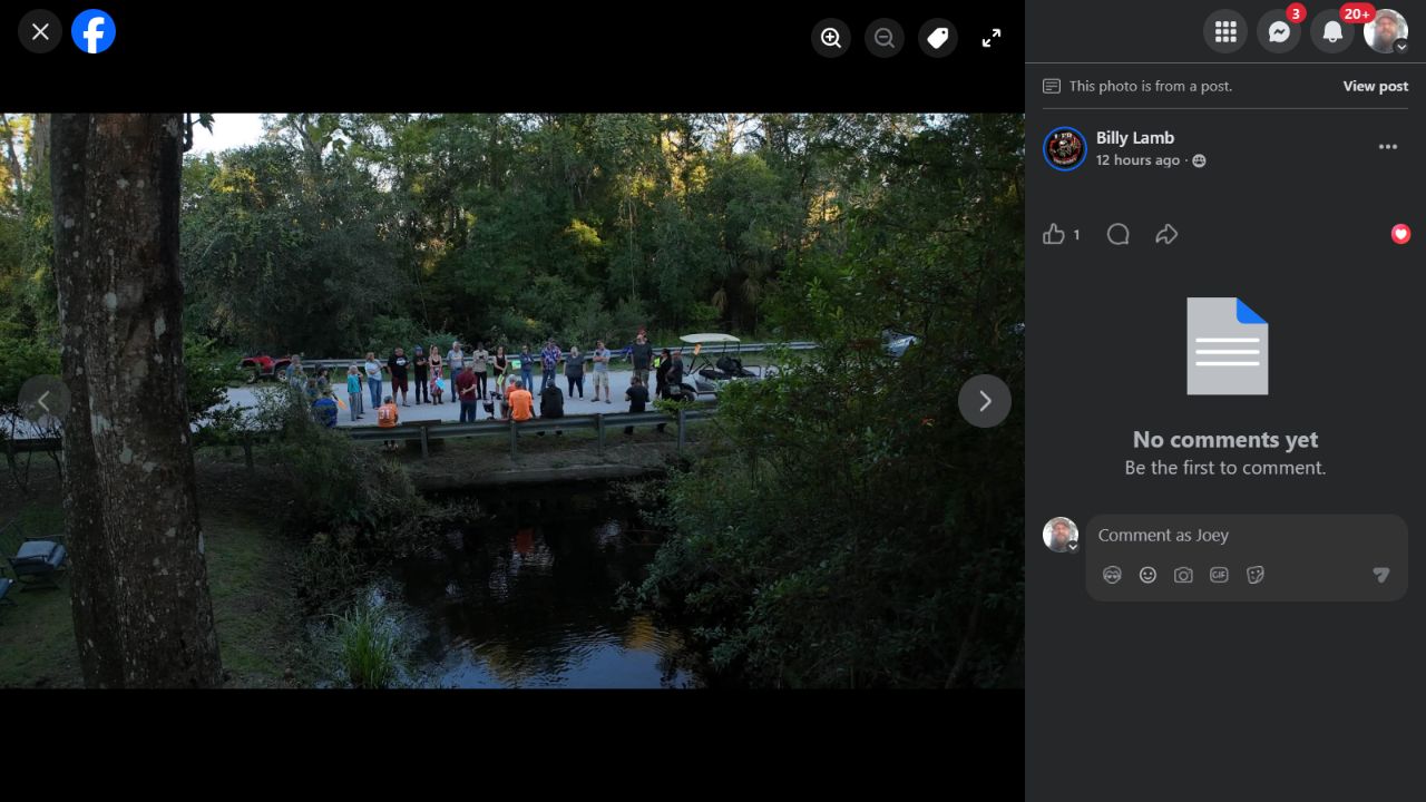
Preserved browser view from Billy Lamb’s September 28 meeting-photo set. The post describes the prior day’s gathering. Views provide road, creek and community context, not measured flood depth or culvert capacity. Capture metadata and individual photo-ID matching are not independently verified.
Open saved image · Facebook source (sign-in may be required)
Kent Grove meeting-photo set: 05
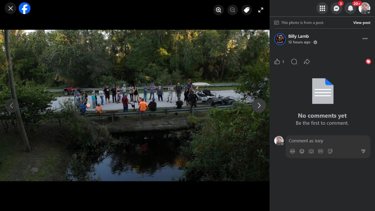
Preserved browser view from Billy Lamb’s September 28 meeting-photo set. The post describes the prior day’s gathering. Views provide road, creek and community context, not measured flood depth or culvert capacity. Capture metadata and individual photo-ID matching are not independently verified.
Open saved image · Facebook source (sign-in may be required)
Kent Grove meeting-photo set: 06
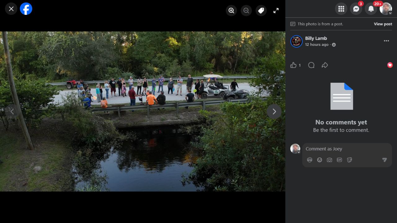
Preserved browser view from Billy Lamb’s September 28 meeting-photo set. The post describes the prior day’s gathering. Views provide road, creek and community context, not measured flood depth or culvert capacity. Capture metadata and individual photo-ID matching are not independently verified.
Open saved image · Facebook source (sign-in may be required)
Kent Grove meeting-photo set: 07
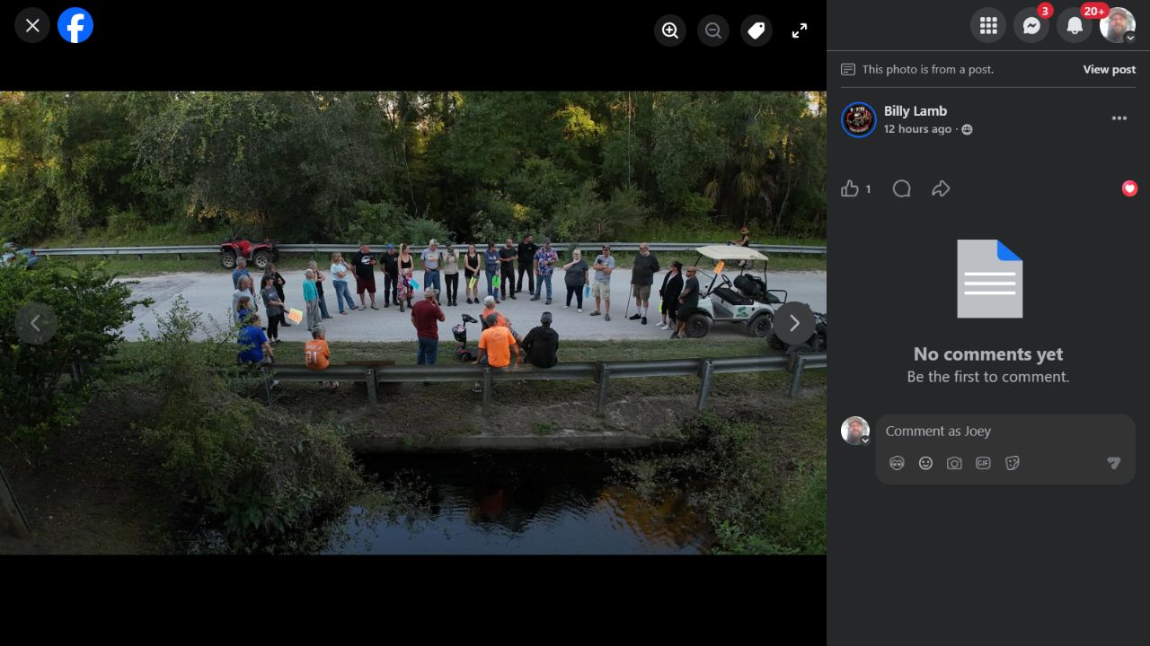
Preserved browser view from Billy Lamb’s September 28 meeting-photo set. The post describes the prior day’s gathering. Views provide road, creek and community context, not measured flood depth or culvert capacity. Capture metadata and individual photo-ID matching are not independently verified.
Open saved image · Facebook source (sign-in may be required)
Kent Grove meeting-photo set: 08
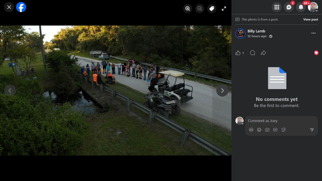
Preserved browser view from Billy Lamb’s September 28 meeting-photo set. The post describes the prior day’s gathering. Views provide road, creek and community context, not measured flood depth or culvert capacity. Capture metadata and individual photo-ID matching are not independently verified.
Open saved image · Facebook source (sign-in may be required)
Kent Grove meeting-photo set: 09
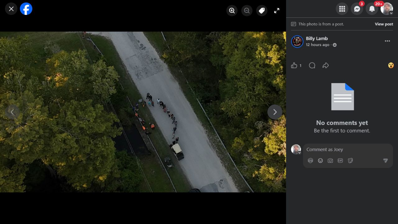
Preserved browser view from Billy Lamb’s September 28 meeting-photo set. The post describes the prior day’s gathering. Views provide road, creek and community context, not measured flood depth or culvert capacity. Capture metadata and individual photo-ID matching are not independently verified.
Open saved image · Facebook source (sign-in may be required)
Kent Grove meeting-photo set: 10
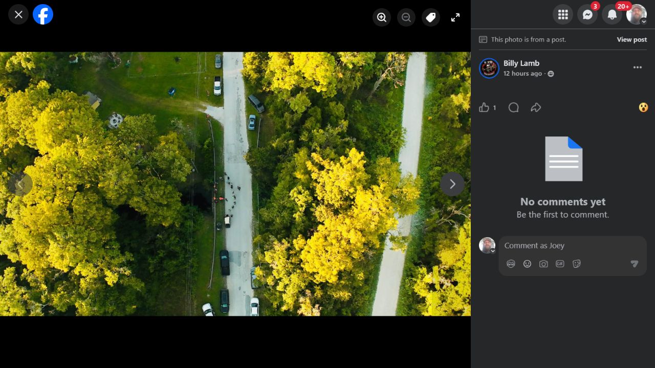
Preserved browser view from Billy Lamb’s September 28 meeting-photo set. The post describes the prior day’s gathering. Views provide road, creek and community context, not measured flood depth or culvert capacity. Capture metadata and individual photo-ID matching are not independently verified.
Open saved image · Facebook source (sign-in may be required)
Kent Grove meeting-photo set: 11
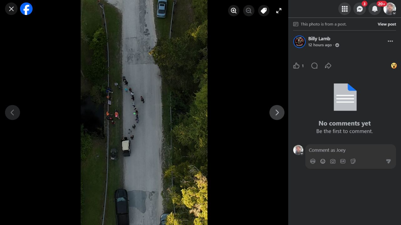
Preserved browser view from Billy Lamb’s September 28 meeting-photo set. The post describes the prior day’s gathering. Views provide road, creek and community context, not measured flood depth or culvert capacity. Capture metadata and individual photo-ID matching are not independently verified.
Open saved image · Facebook source (sign-in may be required)
Kent Grove meeting-photo set: 12
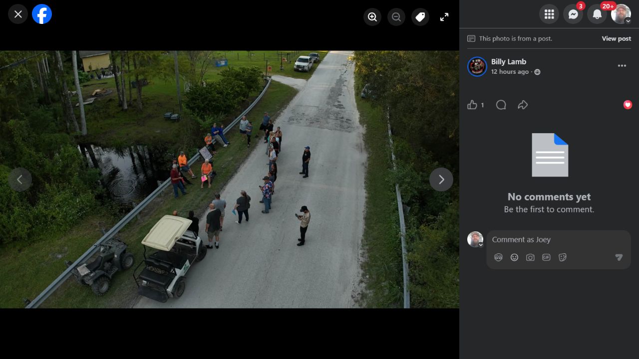
Preserved browser view from Billy Lamb’s September 28 meeting-photo set. The post describes the prior day’s gathering. Views provide road, creek and community context, not measured flood depth or culvert capacity. Capture metadata and individual photo-ID matching are not independently verified.
Open saved image · Facebook source (sign-in may be required)
Kent Grove meeting-photo set: 13
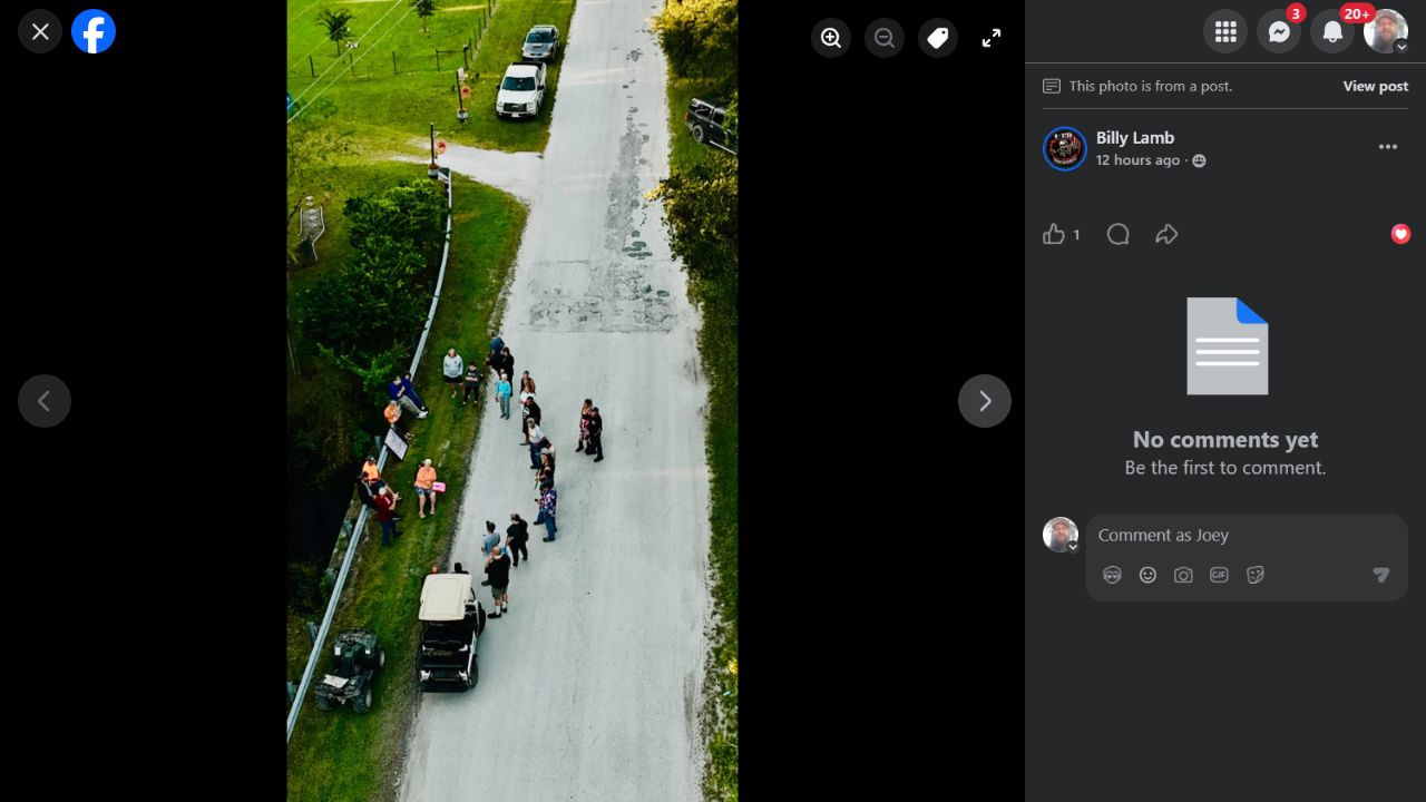
Preserved browser view from Billy Lamb’s September 28 meeting-photo set. The post describes the prior day’s gathering. Views provide road, creek and community context, not measured flood depth or culvert capacity. Capture metadata and individual photo-ID matching are not independently verified.
Open saved image · Facebook source (sign-in may be required)
Video collection
An August 5, 2024 road-video candidate (IMG_4738.MOV, 3:14) was sampled in the owner’s photo library. The original video file is not in this local publication collection; road names and the full route remain to be confirmed. Additional 2016–present originals are still being inventoried. No private Google Photos links are published.